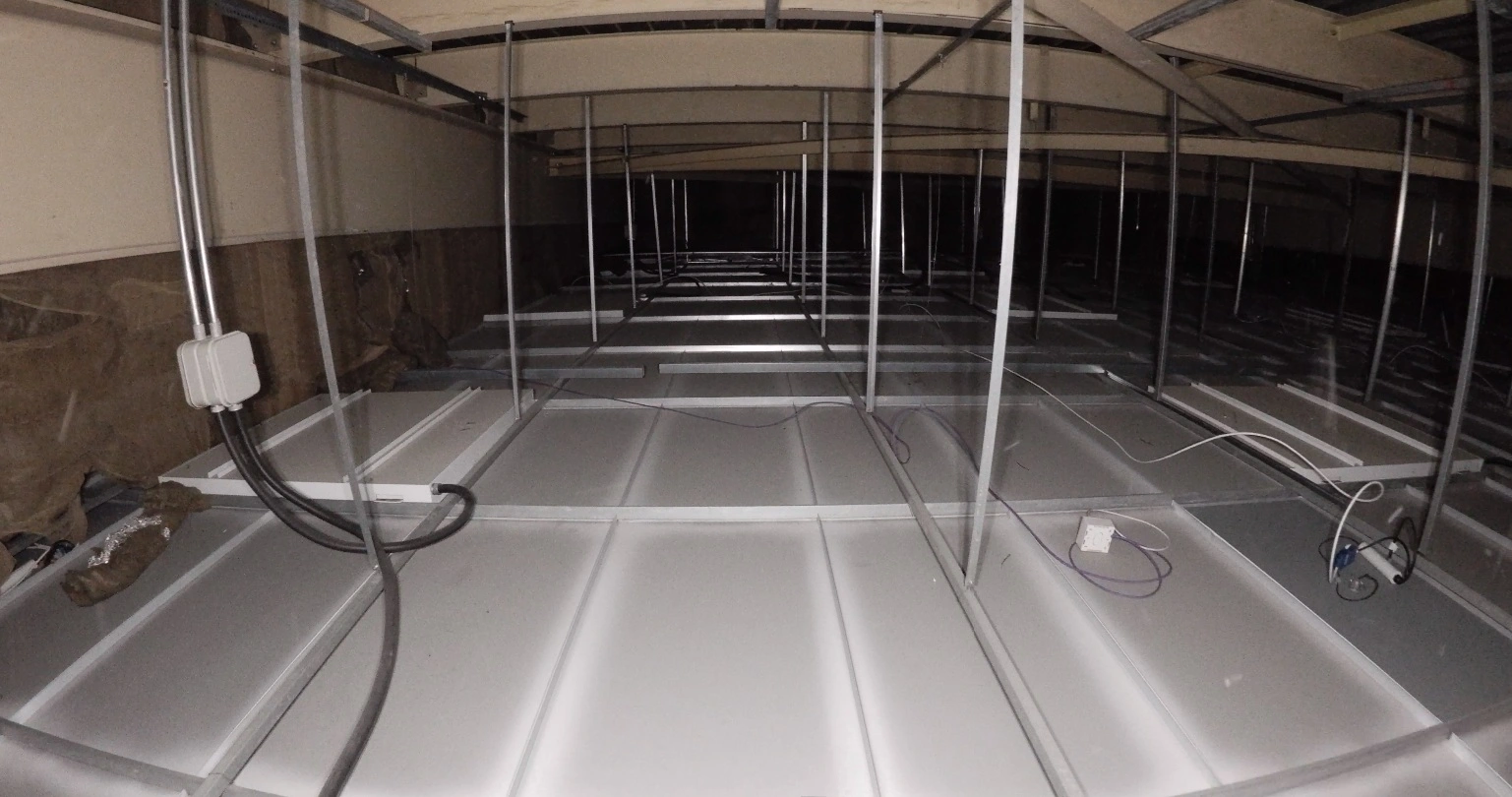
Ceiling void inspections are an essential part of building management, refurbishment, and construction projects. However, these spaces are often difficult to access, poorly lit, and congested with mechanical and electrical services, making traditional inspection methods time-consuming, disruptive, and potentially hazardous.
At ProDroneWorx, we use our confined space drone to safely inspect and survey ceiling voids without the need for extensive working at height, temporary access equipment, or prolonged manual surveys. By combining high-definition visual inspections with 3D laser scanning, we provide facilities managers, contractors, engineers, and building owners with accurate digital information to support planning, maintenance, and design decisions.
What is a Ceiling Void Inspection?
A ceiling void inspection involves assessing the space above suspended ceilings or below roof structures where building services are typically located. These areas often contain:
HVAC systems
Electrical containment and cable trays
Pipework
Fire protection systems
Ventilation ductwork
Structural steelwork
Communication and data services
Ceiling voids are common within commercial offices, hospitals, retail stores, airports, schools, universities, industrial buildings, and public sector facilities.
Understanding what exists within these spaces is critical before refurbishment, fit-out, maintenance, or building alterations commence.
Why Use a Confined Space Drone
Traditional ceiling void inspections typically involve access towers, MEWPs, ladders, or surveyors physically entering restricted areas. This can require ceiling tiles to be removed over large areas, disrupt building occupants, and expose personnel to working-at-height risks.
The confined space drone provides a safer alternative.
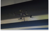
Designed specifically for enclosed and GPS-denied environments, the drone features:
Collision-tolerant protective cage
High-definition camera
Powerful LED lighting
Integrated SLAM LiDAR scanner
Stable flight in confined environments
The drone can safely navigate ceiling voids while capturing both detailed inspection imagery and a comprehensive 3D point cloud.
Creating Digital Twins of Building Services
One of the major advantages of the drone is its ability to generate a 3D digital representation of the ceiling void. Unlike traditional inspections that rely on photographs and handwritten notes, our surveys produce a measurable digital dataset that can be used throughout the project lifecycle. From the captured data we can produce:
3D Point Clouds
2D CAD Drawings
Measured Building Surveys
Revit Models
Building Information Models (BIM)
Digital Twins
These digital deliverables provide designers, engineers, and facilities managers with an accurate record of existing building services, reducing uncertainty before construction or maintenance work begins.
Supporting M&E Design and Coordination
Ceiling void surveys are particularly valuable for mechanical and electrical (M&E) contractors. The accurate point cloud allows designers to understand existing services before developing new layouts, reducing the likelihood of clashes during construction. The information can be used to:
Plan new M&E installations
Validate existing service routes
Identify available space
Coordinate services within BIM
Support prefabrication and off-site manufacture
Verify as-built installations
This improves design confidence while reducing costly site changes and rework.
Faster Than Traditional Survey Methods
Using a confined space drone significantly reduces survey time compared with conventional terrestrial laser scanning. A terrestrial laser scanner typically requires numerous scan positions throughout a ceiling void, with repeated equipment relocation and manual access.
By contrast, the drone can quickly fly through the void, capturing comprehensive visual data and a 3D point cloud in a single operation. This results in:
Reduced programme time
Lower labour costs
Less disruption to occupied buildings
Faster delivery of survey information
Improved Health and Safety
Health and safety remains one of the greatest benefits of using confined space drone technology. Rather than placing surveyors in difficult-to-access environments for extended periods, the drone performs the inspection remotely. This significantly reduces exposure to:
Working at height
Restricted access areas
Fragile ceilings
Poor lighting
Trips and falls
Contact with live services
Manual handling of access equipment
The approach aligns with the hierarchy of control by eliminating or significantly reducing risks wherever possible.
Typical Applications
Our ceiling void inspection and surveying services support a wide range of sectors, including:
Commercial offices
Retail and shopping centres
Hospitals and healthcare estates
Airports
Universities and schools
Industrial facilities
Data centres
Hotels
Warehouses
Public buildings
Whether supporting a refurbishment project, creating a digital twin, or planning new building services, our surveys provide accurate information with minimal disruption to operations.
Frequently Asked Questions
Can the drone fly inside ceiling voids?
Yes. its specifically designed for enclosed, GPS-denied environments and can safely navigate ceiling voids while capturing high-definition imagery and 3D laser scan data.
Can you produce Revit models from the survey?
Yes. We can convert the captured point cloud into 2D CAD drawings, Revit models, BIM deliverables, and digital twins depending on project requirements.
Is the survey disruptive?
No. In most cases, ceiling void surveys can be completed with minimal disruption to building occupants, reducing the need for extensive access equipment or prolonged working at height.
How accurate is the survey?
The drone produces a high-density SLAM-based point cloud that is ideal for understanding the layout of ceiling voids and building services. Where higher survey accuracy is required for detailed design, we can combine the drone survey with terrestrial laser scanning and survey control to create an enhanced, coordinated dataset.