Infrastructure
Infrastructure Inspections, Surveying and Modelling
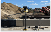
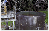
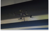
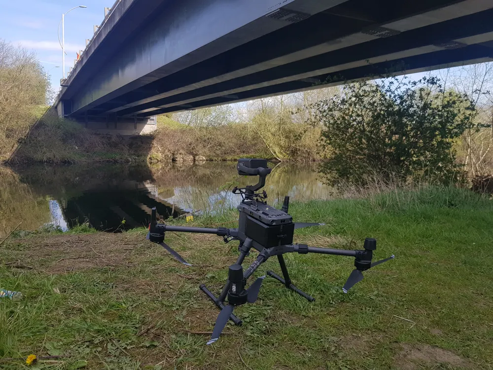
Drones are gaining in popularity as a tool for infrastructure inspections, surveying and modelling as users understand the many benefits they bring, making it easier, faster, and safer to assess the condition of structures like bridges, power stations, roads and overhead lines.
Capture
Drone Technology
Drone technology can capture high-quality data and images from previously inaccessible locations and are revolutionising the way we inspect and maintain critical infrastructure.

Digital Model
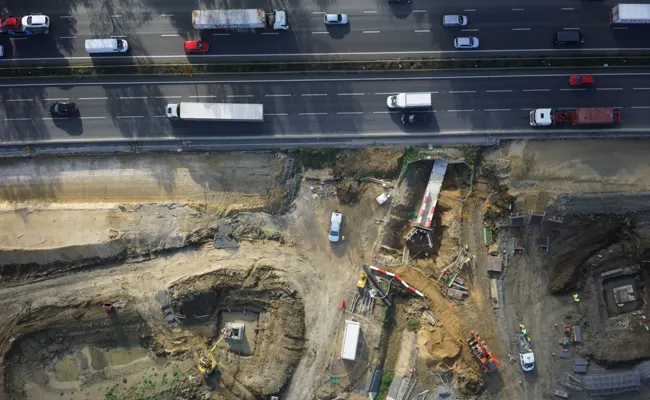
A 2D/3D digital model of a project/asset captured using drone technology can keep pace with changes onsite and can be used as follows:
- Help surveyors, engineers, designers, project managers and senior management understand progress related to the design models
- Manage earthworks with cut and fill volumetric measurements
- Enable progress monitoring of the project at all stages of the build against the design models
- Quality assurance checks of construction materials used onsite
- The high resolution imagery was integrated and used in BIM
- Evidence regarding the amount of work carried out
- Understand the condition of a piece of infrastructure