Faster
Topographical, Utility, Building or Structural Surveys
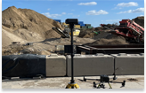
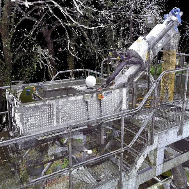
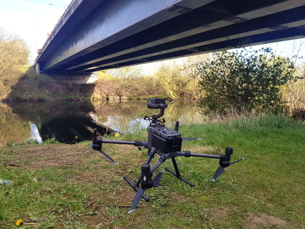
We carry out topographical, utility, building or structural surveys using below ground, ground or aerial based technologies e.g. Total Station, GPS, laser scanning and/or drone technology.
The digital data from surveys enables users to plan, manage, track and design a project/structure at different stages. We apply innovative terrestrial, mobile and aerial techniques.
No two projects are the same so depending on the clients requirements in terms of deliverables, accuracies, etc we could use a single technology like drones for a construction site or multiple technologies like terrestrial laser scanning, total station and drones for a bridge or measured building survey (MBS).
Using drone technology or laser scanning allows survey grade accurate 2D/3D digital data to be captured much quicker and safer than traditional methods. It also supports greater collaboration on projects by providing deeper data insights, improved H&S and data deliverables to the client while enabling the comparison of the as-build vs design.
Benefit
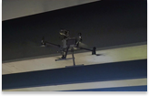
Drone Technology
A key benefit of using drone technology is that the data can be overlaid into BIM, CAD or Geographic Information System (GIS) software in different file formats, including dwg, dxf, xyz, las, laz, obj, kmz. This makes integration of the 2D/3D digital data into workflow processes straight forward.

Survey grade data outputs
Using the latest development in RTK/PPK drone technology, we provide survey grade accurate 2D and 3D digital data outputs. The following survey grade accurate digital data georeferenced to the OSGB 1936 (OSTN15) is typically produced for projects:
- 3D Point Cloud – las and dxf. Other file formats can be produced
- 2D Orthomosaic
- 2.5D DEM
- 2D Contours – dhx, shp, prj and dbf