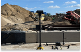
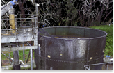
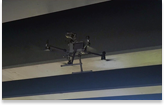
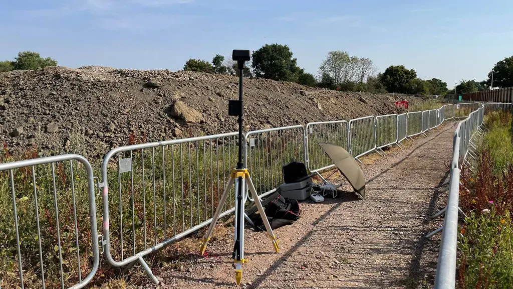
We were out at first light this morning to beat the heat carrying out a 3D topographical survey using drone technology on a construction project
Our client is using the survey grade accurate 3D point cloud tied to the OS grid to monitor, track and measure this large earthworks project. They are comparing the as-build vs design layers and as-builds over time.
News
Stay informed with our news
Services
Sectors
Company
22 Burkes Road, Beaconsfield, England, HP9 1PF
Mobile: +44 (0)7805 864642
Email: info@prodroneworx.co.uk