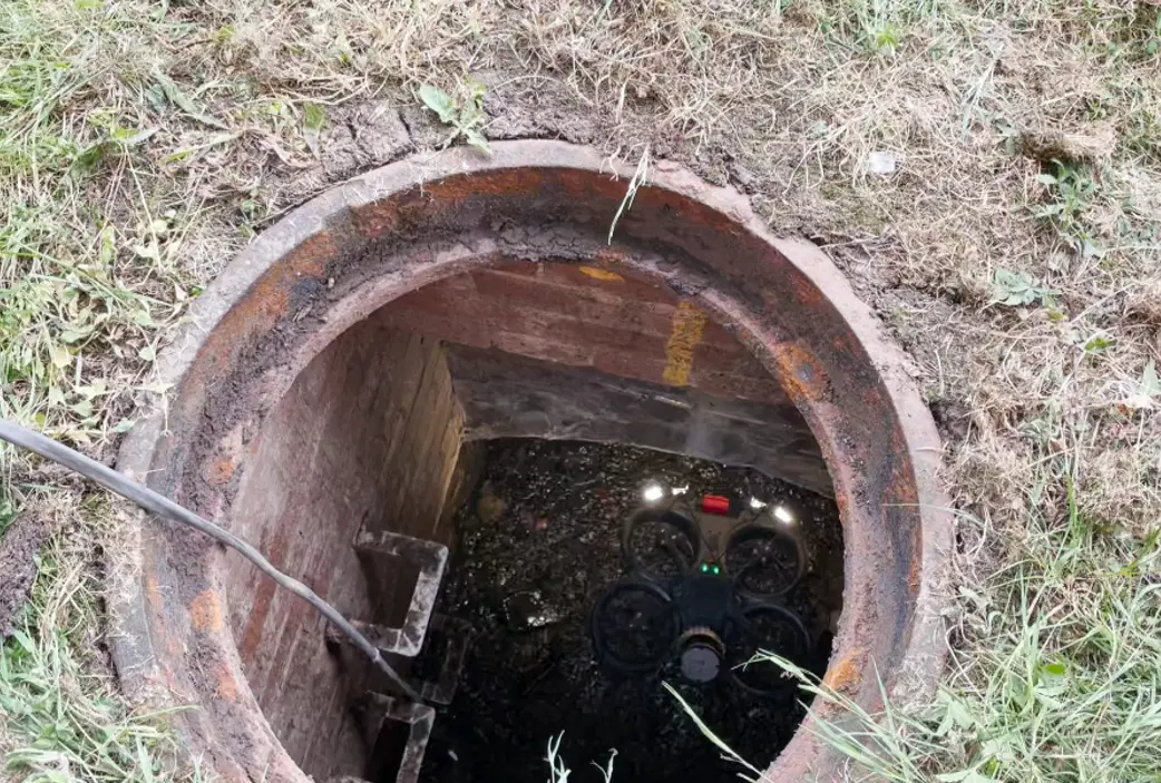
We carried out a confined space culvert inspection using the Elios 3 from Flyability.
The confined space drone LiDAR technology generated a survey grade 3D point cloud. The embedded LiDAR constantly scanned its surroundings to build a high-density 3D point cloud map.
This means we can provide accurate measurements of structural elements, volumes and areas.
This alongside the 4K camera provides invaluable data to those managing or maintaining assets/structures like tunnels, sewers, viaducts, bridges, etc.
There was no need for manned entry into the confined space to carry out the inspection. Why put people's lives at risk in a dangerous environment when remote non-invasive technology can be used instead.