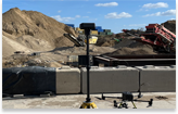
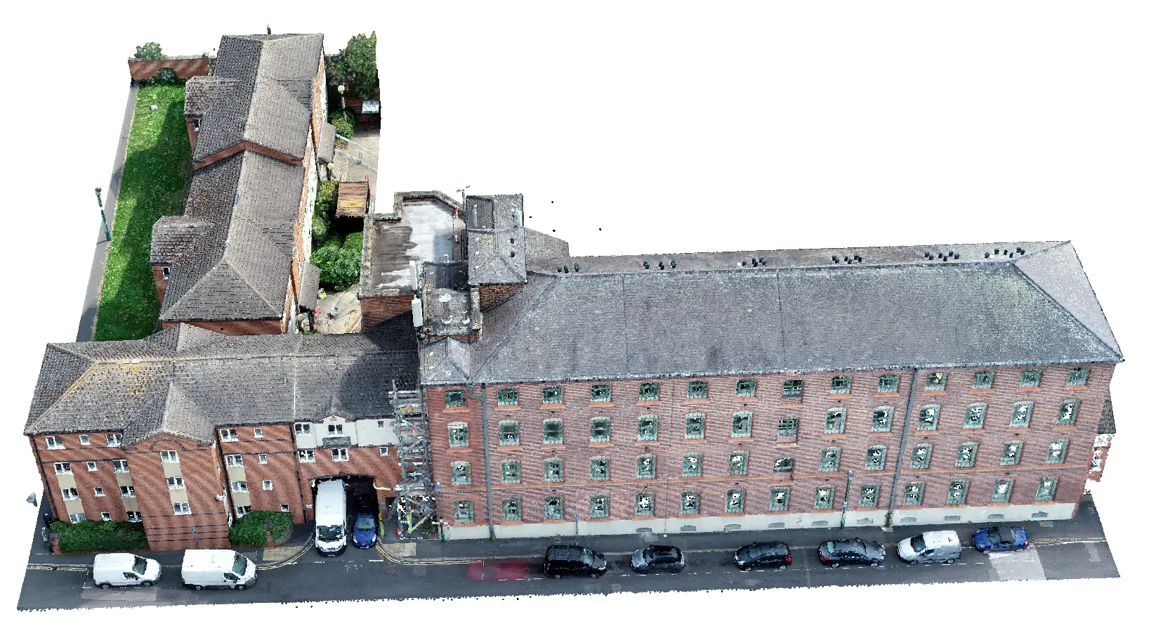
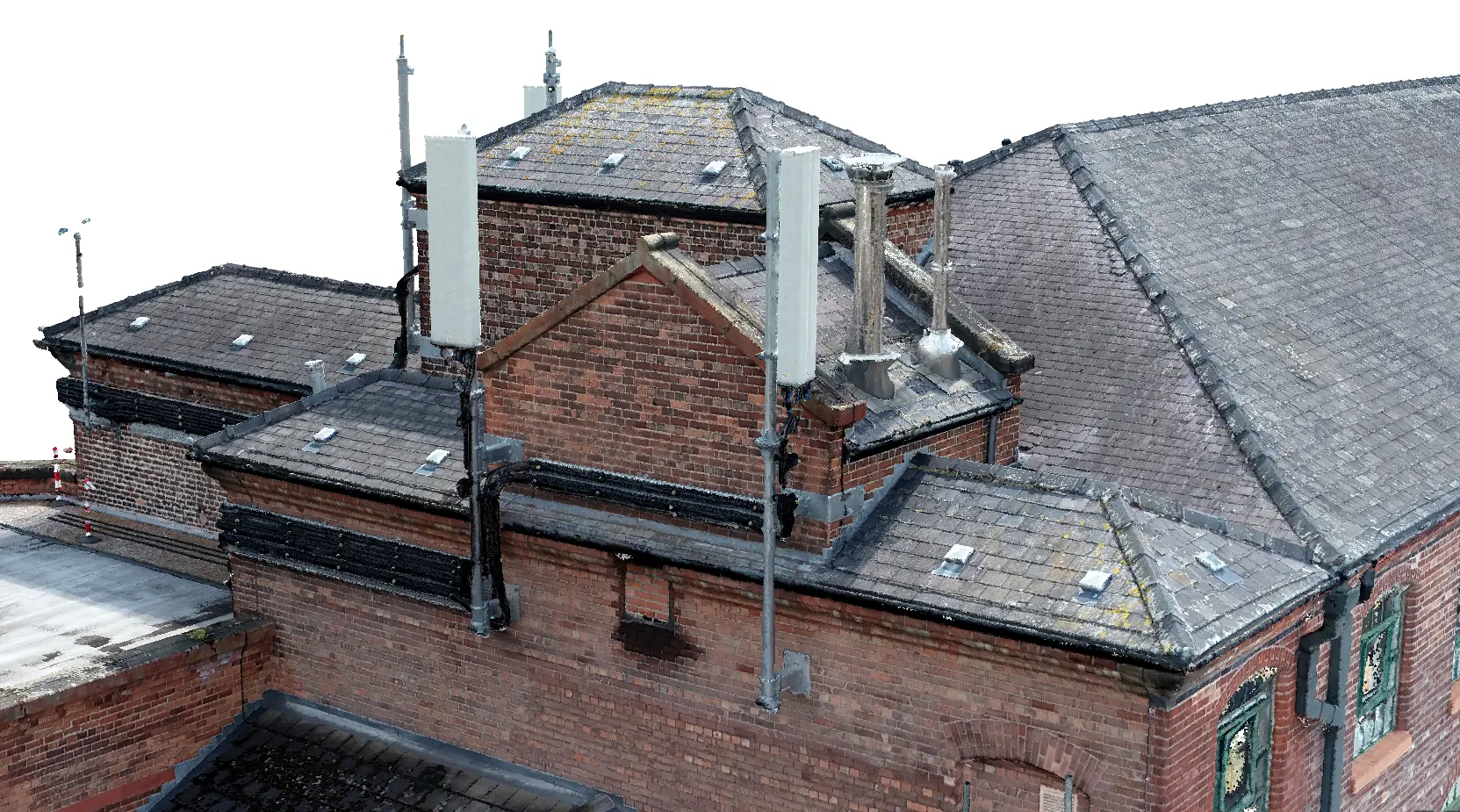
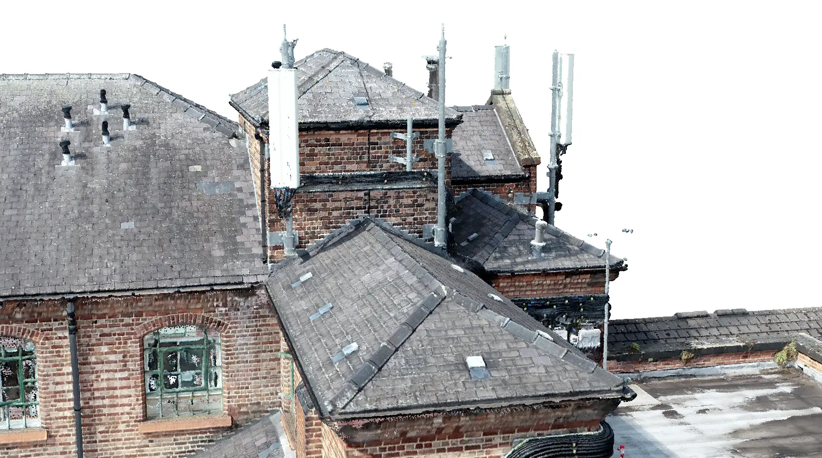
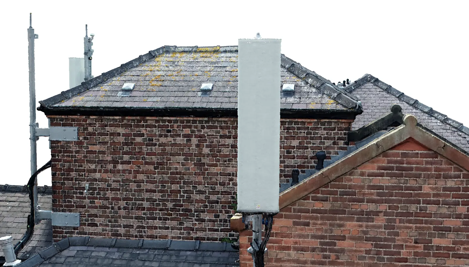
We’re excited to share the news that we've been working on multiple telecoms projects over the last year, creating highly accurate 2D and 3D digital models using state-of-the-art data capture technologies.
Our team combined the data from terrestrial laser scanning, GPS/GNSS, total station and drone technology to create full models with no gaps in the datasets.
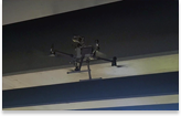
The use of drone technology enabled us to capture roof levels, which was a game-changer.
These digital models can be used for logistics, planning, upgrades, equipment management, and maintenance, supporting the optimisation of the design and build process for new and existing telecoms infrastructure projects.
News
Stay informed with our news
Services
Sectors
Company
22 Burkes Road, Beaconsfield, England, HP9 1PF
Mobile: +44 (0)7805 864642
Email: info@prodroneworx.co.uk