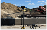
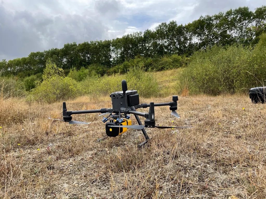
We carried out a 300 acre (123 hectare) topographical survey using aerial LiDAR in one day.
Aerial LiDAR can produce detailed digital terrain models (DTM) and 3D point clouds that cannot always be obtained using traditional surveying methods. When surveys are required of topographical terrain that’s covered in vegetation aerial LiDAR is ideal as it can be carried out without the need for vegetation clearance.
LiDAR can penetrate dense tree canopy, enabling the capture of bare earth terrain models beneath the vegetation. Aerial LiDAR can collect over 700,000 points per second with an average surface density of >700 points per square meter in open areas and approx. 70 points per square meter under vegetation.
News
Stay informed with our news
Services
Sectors
Company
22 Burkes Road, Beaconsfield, England, HP9 1PF
Mobile: +44 (0)7805 864642
Email: info@prodroneworx.co.uk