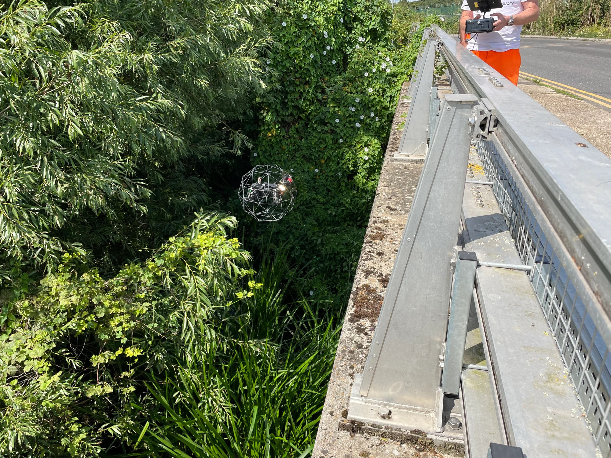
We used drone technology to carry out a measured building survey of a very complex roof in central London. Access was very restrictive and the only way to capture the data was by using drone technology.
Our 3D point cloud data will be combined by our client with data from a terrestrial laser scanner to form a full colourised 3D point cloud of the building with no missing information. The 3D data will be used to create CAD drawings.
The building was in a restricted flight area in London where we had to obtain permission from NATS, Met Police and the Diplomatic Protection Group to fly.
News
Stay informed with our news
Services
Sectors
Company
22 Burkes Road, Beaconsfield, England, HP9 1PF
Mobile: +44 (0)7805 864642
Email: info@prodroneworx.co.uk