Historic structures present a unique challenge. They need to be preserved, maintained, and upgraded without compromising their heritage or structural integrity. Having accurate information before any work begins is therefore critical.
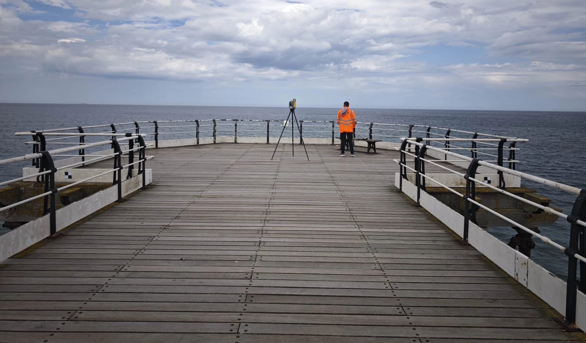
We recently carried out a high-definition terrestrial laser scan, capturing millions of survey-grade measurements to create a detailed 3D digital model of the structure. The resulting point cloud provides a complete and measurable record of the pier, accurately representing its geometry, structural elements and construction details.
This digital dataset enables engineers and designers to extract precise dimensions, generate 2D CAD drawings, develop Revit models and create a digital twin for future inspection, refurbishment and maintenance projects. Rather than relying on traditional manual measurements or repeated site visits, project teams can interrogate the point cloud from the office, reducing programme time while improving design accuracy.
For structures, the value extends far beyond a single survey. The 3D model becomes a permanent digital record that can be revisited throughout the asset's lifecycle. Future surveys can be compared against the original dataset to identify movement, deterioration, or deformation, helping engineers monitor structural performance and plan maintenance based on measurable evidence.
As infrastructure owners increasingly adopt digital engineering and BIM workflows, terrestrial laser scanning is becoming an essential tool not just for documenting existing assets but for creating the digital foundations that support smarter asset management, refurbishment and long-term preservation.
Accurate data today creates better decisions tomorrow.