Project
2D/3D digital surveying of viaduct structure
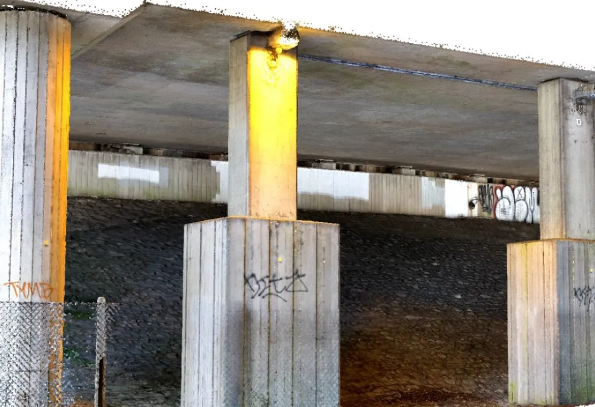
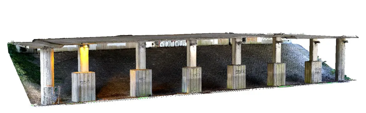
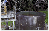
ProDroneWorx have carried out a detailed digital surveys of a viaduct structure using terrestrial laser scanning and photogrammetry.
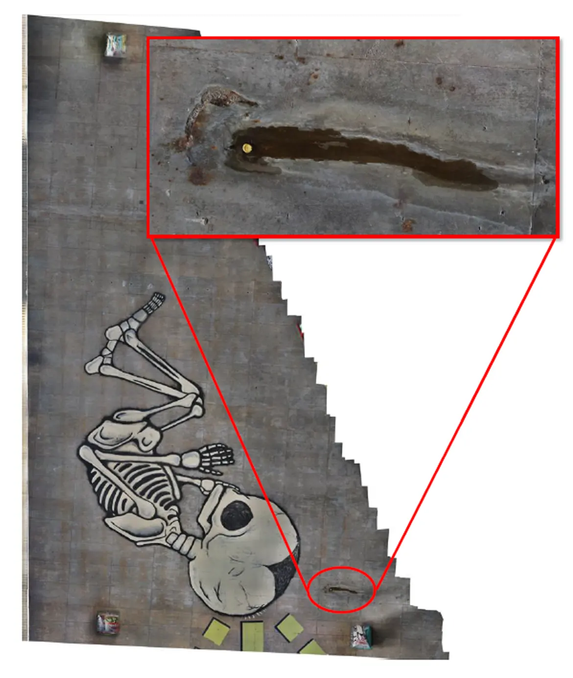
We successfully produced survey grade accurate 2D and 3D digital data of the undersides and columns or pillars of the viaducts. The data was tied into the OS grid so it could be linked with other survey data like a topographical survey. It was also used to verify the <1cm of global accuracies.
The data was used by the structures and design teams to:
- Understand the condition of the structure via digital models (3D point cloud and 2D orthomosaic)
- Create CAD or REVIT models of the structures
- Reduce the need for site visits by having digital models of the structures
- Use the digital data to discuss the projects with National Highways and sub-contractors
The models can be easily imported into any BIM, GIS or AutoCAD system.
These models have many applications on various types of inspection projects where a high level of detail and understanding is required.
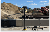
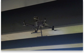
ProDroneWorx uses various data captures methods e.g. remote control boats, confined space drones etc for the inspection, surveying or modelling of assets and structures.